the GR 54 -
|
The GR 54 - | |
|
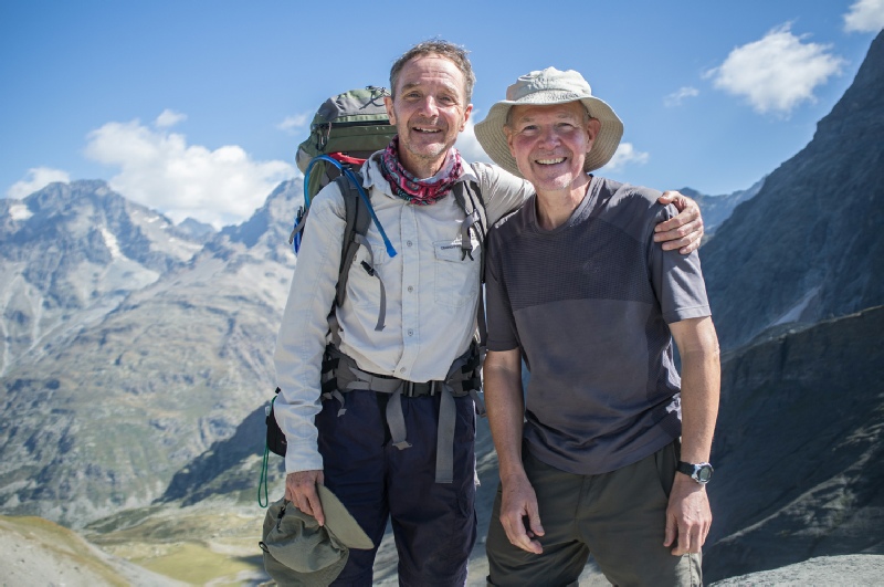
September 4- Trip members - |
|
|
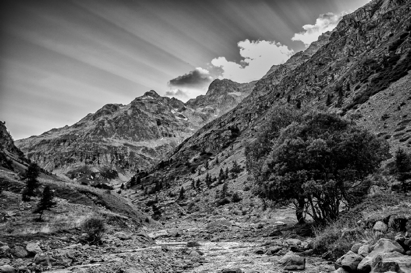
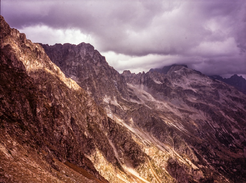
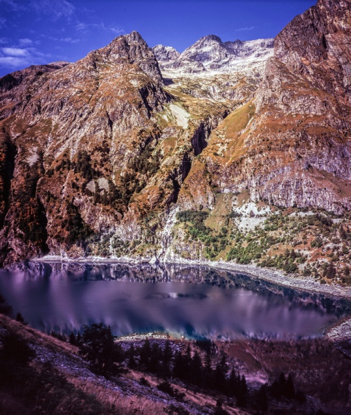
The Tour of the Oisans or Massif des Ecrins is known as the GR54. It is a region
in the French Alps of dramatic peaks separated by deep valleys with very steep slopes.
The distance the Tour covers is 180km with 14 passes and about 13000m of ascents.
The Kev Reynolds Cicerone Press guide book was followed for the route, roughly following
the 10 day itinerary set out in the guide. Since the guide was produced in 2008 there
has been considerable work carried out in protecting and improving the trail and
as a result it was found that a lot of the caution warnings given in the book for
rocky and exposed sections of the walk were not really necessary now. The Tour circumnavigates
some of the highest and most dramatic massifs in the Alps. The start and finish of
the Tour is the town of Bourg d’Oisans, situated about 50km southeast of Grenoble
and the circular route was tackled as the book describes in a clock- Getting there : We took the train - | |
|
Day 1 Bourg d”Oisan to communal campsite 15minutes beyond Besse- After a peaceful night spend at Camping la Cascade campsite, we headed off to find
the start of the GR54. This turned out to be situated next to the campsite but was
marked by signs do not enter and do not urinate. We had been warned by the lady running
the campsite to ignore these signs so this is what we did and set off up the rocky
path looking for our first red and white flashes. These we soon found and we were
assured we were on the right track. Making sure we did not urinate, we started the
climb up the mountain side skirting the Cascade de la Sarenne on rocky slabs. There
are cable safeguards on this section but it is hardly necessary. La Ville was the
first hamlet of the trip and then it was onwards and upwards on tracks through the
forest. After a number of other hamlets leading to very pleasant wooded slopes and
then onto meadows and the road to the Col de Sarrene. The col was a little disappointing
with the road and the cyclists trying to emulate their Tour du France heroes. On
the descent from the col we made our only navigational error but this was soon spotted
and only added about 20 minutes to the day to get back on track. After the village
of Clavans- |
|
|
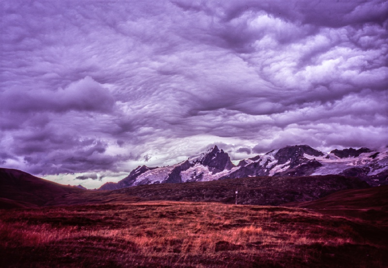
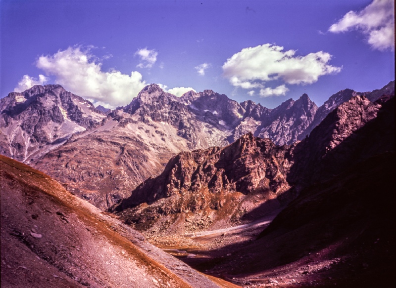
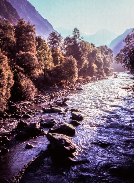
Day 2 Besse- The day started with the steep climb up to the Col Nazie and then the grass slopes to the Col Bichet. As the guide book points out the view across the open pastureland to the Le Meije and Le Rateau peaks was breathtaking. The weather on this day was moody with some dark clouds but this heightened the drama of the view with wonderful cloud formations over the peaks. After the highpoint of the Col du Souchet it was a descent to the village of Le Chazelet where we hoped to get some lunch. No such luck with every shop and restaurant shut at the end of the season. So it was onwards to the villages of Les Terraces and La Grave. Getting to Grave in good time we decided to carry on down the La Ramanche valley until we came to the campsite at Le Pied du Col. |
|
|
Day 3 Le Pied Du Col campsite to Vallon de Chambran The La Ramanche valley was followed for a few more miles and then the climb to the
the Col d’Arsine started. After the Col there was a very picturesque descent through
streams and meadows and the very popular spot of the Lac de la Douche. The village
of Le Cassett was reached and passed through again with no opportunity to get any
provisions. However, better luck was had in Monetier- |
|
|
Day 4 Vallon de Chambran to near Cabane Pastorale du Jas Lacroix The descent into the Vallon de Chambran continued the next morning and the Chambran
buvette was soon passed. The Vallon de Chambran was followed pretty much all the
way into the village of Le Sarret and the road then taken down into Vallouise. The
restaurant just before the main square was the venue for a great plat du jour meal
We then were not successful in securing the services of at taxi to take us up the
road to Entre- |
|
|
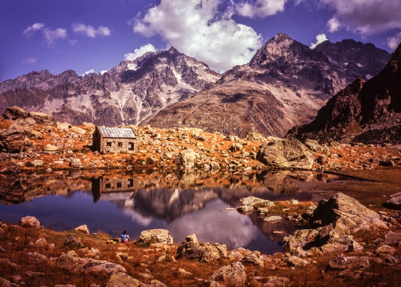
Day 5 Cabane Pastorale du Jas Lacroix to Refuge du Pre de la Chaumette The next morning the Cabane Pastorale du Jas Lacroix was passed. The climb towards the col got more and more rocky as we went higher and we spent our time playing spot the col until it became very clear which col we were aiming for. The scenery became bleaker and rougher with the route to the Col de l’Aup Martin marked by a very black scree slope over which we needed to cross. The weather had been very dry over the Summer so the path across the scree was well compacted and had not been littered with fallen boulders from the scree slope above. Kev’s guide issues a caution warning for this section but in the condition we found the path there was no need for real concern as we reached the col. A relativley short horizontal traverse then took us across to the second col of the day, the Pas de la Cavale where we had a break for some nibbles. Over the col the path steepened considerably and zig zags down for what seems an eternity towards the Refuge du Pre de la Chaumette. We arrived at the Refuge quite early in the afternoon but decided not to press on but to have a shorter day ready for the next two big days of the Tour. The campsite is a bit of walk from the refuge but we went back to the refuge for the evening meal served there. |
|
|
Day 6 Refuge du Pre de la Chaumette to the campsite in La Chapelle- Knowing this was going to be big day, we got up early and made a quick pack- |
|
|
Day 7 La Chapelle- The first section of this days walk is actually down hill according to the gradient
in the guide but it a very pleasant section through woods with the river running
below us. Once at the Villar- |
|
|
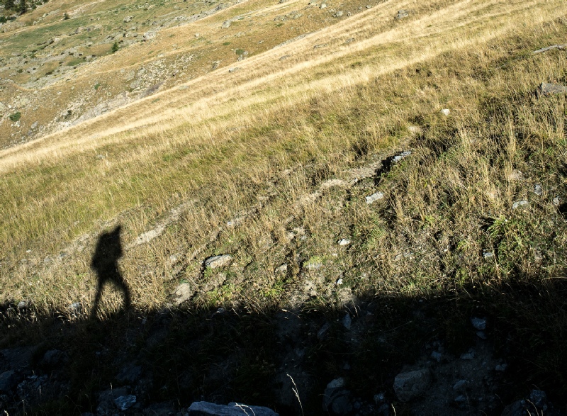
Day 8 Le Desert- Day 8 was definitely the shortest day of the Tour with less than 10k of distance and about 1000m of ascent across the Col de Cote Belle. The environment for this day was very different from the previous 3 days with very grassy slopes. We enjoyed the views from the col including across to our next days walk up to the Col de la Muzzelle. A rocky descent lead to woods and then finally to the village of Valsenestre. This is a very pretty village and we had booked accommodation in the gite. Good food and great company followed that evening. Highly recommended!! |
|
|
Day 9 Valsenestre to campsite north of Coll du Vallon We had to retrace our footsteps from the previous day for the first part of the stage
then the climbing started towards the Col de la Muzzelle. Again, the guide has a
caution warning for the upper section below the col but the re- |
|
|
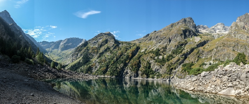
Day 10 Coll du Vallon to Bourg d’Oisan The final day of the Tour broke with the usual fine and sunny weather to look forward
to. We had been very blessed with good weather only having the one thunder storm
on the descent to le Desert. We could see our first objective of the day, Lac Lauvitel
via a steep zig- A great trek marked by inspiring scenery, quiet and peace as well some great walking. Highly recommended. |
|
|
Useful Information | |
|
Links to accommodation used on day 7 and day 8 Auberg l’Eterlou - Gite d’etape Le Beranger tel 04 76 30 20 88 |
|