the Black Mount
The Clachet Traverse is a route between Inveroran and the Kingshouse, taking in the Munros of Stob a'Choire Odhair, Stob Ghabhar, Meall a'Bhuiridh and Creise. The distance covered for the traverse is about 25km but to return to the start requires another 15km of walking, making it a considerable undertaking.
|
Stob a'Choire Odhair |
945m/3100ft |
| |
|
Stob Ghabhar |
1090m/3576ft | ||
|
Creise |
1100m/3609ft | ||
|
Meall a'Bhuiridh |
1108m/3635ft | ||
|
|
| ||
|
date climbed |
28/09/08 |
time taken |
12 hours |
|
distance |
40km |
ascent |
1950m |
|
OS Map |
Landranger 50/41 |
Weather |
Early mixed visibility later in day driving rain, hail and mist |
|
Starting point : Victoria Bridge GR 270 423 | |||
|
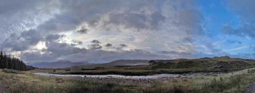
From the car park a path was taken towards the Victoria bridge then the track besides the Abhainn Shira followed to the Glasgow University climbing hut. A stalkers path headed north into the hills until a burn was crossed when the route headed off up through the heather, twisting and turning as it went until the summit came into view. Once reached, the peaks climbed a few days earlier in the Bridge of Orchy and Mamlorn ranges were visible and the routes taken on these hills replayed in the memory. After descending to the belach, the Aonach Eagach ridge (no relation to the Glen Coe ridge) lead upwards to allow a short pull onto the Stob Ghabhar summit. The route across to Creise looked complicated on the map and navigation was not helped
by low level cloud that had now build up. However, it was not as bad as I had feared
and I only needed a couple of GPS position confirmations. After a few ups and downs,
the western side of Glas Choirean was reached and steep and rough descent to the
Belach Fuar- A fine mountain day, challenging with the terrible weather but very satisfying when completed. |
