Ben Lomond and the Arrochar Alps

|
The Arrochar Alps are a tight group of individual hills, more rugged and steep than most of the other hills in the Southern Highlands. |
|
Ben Vane |
915m / 3002ft |
| |
|
Beinn Irme |
1011m / 3317ft | ||
|
Beinn Narnain |
926m / 3038ft | ||
|
|
| ||
|
date climbed |
15/05/08 |
time taken |
6 hours |
|
distance |
20km |
ascent |
1550m |
|
OS Map |
Landranger 56 |
Weather |
Sun and good visibility |
|
Starting point : Iveruglas A82 Loch Lomond | |||
|
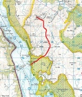
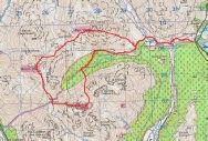
After an early start and drive up to Loch Lomond, the 3 Munros aound the head of Coiregrogain were completed in an afternoon. After the steep ascent of Ben Vane, a fair amount of descent and ascent was needed to reach the second Munro of the day, Beinn Irme. A straightforward descent of Beinn Irme lead to the bealach and 300m of ascent to the final Munro of the day Beinn Narnain. Wonderful views down Loch Long to the Kyles of Bute were enjoyed then the steep descent back to the road tackled. A fine day. |
|
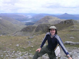
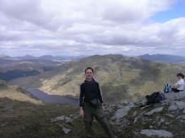
View towards Loch Lomand from Ben Vane |
On top of Ben Vane |
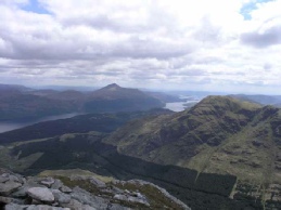
Beinn Narnain |
|
Ben Vorlich |
943m/ 3094ft |
|
|
|
|
date climbed |
20/05/08 |
time taken |
4 hours |
|
|
distance |
10km |
ascent |
900m |
|
|
OS Map |
Landranger 56 |
Weather |
Good sun and visibility |
|
|
Starting point : Iveruglas A82 Loch Lomond |
| |||
|
An afternoon ascent of Ben Vorlich completed the Arrochar Alps. A simple up and down affair. |
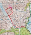

View from the summit of the other 3 Arrochar Alps summits
|
Ben Lomond |
974m/3195ft |
| |
|
|
| ||
|
date climbed |
27/05/2013 |
time taken |
3.5 hours |
|
distance |
11km |
ascent |
914m |
|
OS Map |
Landranger 56 |
Weather |
Mixed, rain, mist and strong winds |
|
Starting point : Rowardennan car park | |||
The Arrochar Alps
|
Another early start and drive up to Loch Lomond to complete the most Southerly Munro in the afternoon. A very poor day for weather so it was a wet and windy ascent and quick run down. Not very memorable I am afraid and the camera did not make an appearance. |
