the Glen Etive Hills

Glen Etive holds many fine memories of the school trips to the bothy on the shores of Loch Etive with the Boteler Grammar School Fell Walking Club, the FWC. It is a magical place with many interesting and challenging peaks.
|
Ben Starav |
1078m/3537ft |
| |
|
Glas Bheinn Mhor |
997m/3271ft | ||
|
Beinn nan Aighenan |
960m/3150 | ||
|
|
|
|
|
|
date climbed |
21/06/08 |
time taken |
7 hours |
|
distance |
20km |
ascent |
1710m |
|
OS Map |
Landranger 50 |
Weather |
Sun and good visibility |
|
Starting point : Glen Etive GR 136467 | |||
|
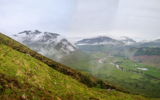
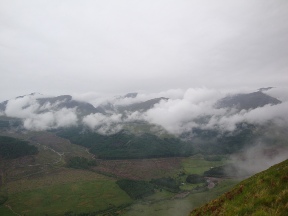
After the drive up to Scotland fresh from work and then a broken night stretched out in the back of the car, the ascent of Ben Starav was started in fine weather. The effect of the tough 1000m ascent was moderated by the fantastic views looking down into Loch Etive with the Etive Slabs being reflected in the perfectly clear water. The summit was reached and the view expanded rapidly to take in the Cruachan and Tyndrum Hills, peaks that were climbed only a few weeks before. The second Munro of the day was accomplished after the very long descent and a sharp right turn onto the outlying peak of Beinn nan Aighenan. Progress during the day was slow. My legs felt like lead so it was after 3pm when I retraced my steps and then climbed my final peak of the day, Glas Bheinn Mhor. I should have pushed myself onto the two nearby Munro peaks but the thought of finding a decent bed for the night and some good food provided too much of a temptation and the descent back to the Glen was started. A good days walk in what has got to be one of Scotland's most beautiful Glens. |

|
Beinn Sgulaird |
937m/3074ft |
| |
|
|
|
|
|
|
date climbed |
Afternoon 28 June 2012 |
time taken |
4 hours |
|
distance |
5 miles |
ascent |
930m 3020ft |
|
OS Map |
Landranger 50 |
Weather |
Mixed with mist and strong winds on the top followed by torrential rain and thunder and lightning |
|
Starting point : Glen Creran car park | |||
|
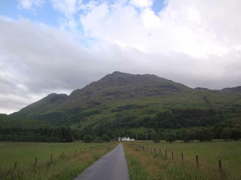
After the morning on the hills above Ballachulish, the afternoon was spent climbing the mountain that rises from the head of Loch Creran. The route to the top was directly up the very steep slopes from Elleric. There did not appear to be a clear path so the ascent was by way difficult heather and scree slopes. The mist had thickened by the time I reached the top and along with a very strong wind progress was difficult. The descent was also marked by an almighty thunderstorm which added considerably to the excitement level of the day! |
|
Sgor na h- |
994m/3261ft |
| |
|
Beinn Fhionnlaidh |
959m/3146ft |
|
|
|
|
|
|
|
|
date climbed |
29 June 2012 |
time taken |
7 hours |
|
distance |
11 miles |
ascent |
1550m 5150ft |
|
OS Map |
Landranger 41/50 |
Weather |
Mixed with mist and strong winds on the top |
|
Starting point : Glen Etive - | |||
|
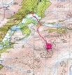
Sgor na h- The forest track through Etive forest was followed for about 3km and then a path
lead to the deer fence enclosing the forest. The Bealach Clach nam Meirleach was
the next point to aim for where a line of fence- Beinn Fhionnlaidh After returning to Bealach Clach nam Meirleach by the route up, I took notice of
Steven Fallon’s warning not to follow the fenceposts directly up Beinn Fhionnlaidh's
north- |

|
Stob Coir’ an Albanaich |
1044/3425ft |
| |
|
Meall nan Eun |
928m/3045ft | ||
|
|
| ||
|
|
|
|
|
|
date climbed |
24/06/2015 |
time taken |
6 hours |
|
distance |
15km |
ascent |
1300m |
|
OS Map |
Landranger 50 |
Weather |
Mist from about 600m but little wind |
|
Starting point : Glen Etive road before Coileitir farm | |||
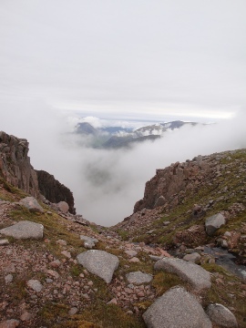
Having not done these two Munros on my ascent of Ben Starav and her two sisters due to terrible hunger pangs I had to revisit this area in order to ascend them. The ascent from Etive over Beinn Chaorach towards Stob Coir’ an Albanaich is initially brutal so it was with great relief when the shoulder was reached and angle declined. Navigation down to the bealach between the peaks was somewhat tricky in the mist and not at all obvious. The ascent of the second peak involved crossing the subsidiary summit Meall Tarsuinn and then on towards Meall nan Eun. The summit is not easy to find in the dense mist however I eventually found the cairn with the help of the GPS and compass. For the descent I traversed Meall Tarsuinn again and descended from the bealach. This descent was not easy with lots of slabs of rock and quite steep at times so it was with some relief I eventually reached the path that lead back to Glen Etive and the car.
